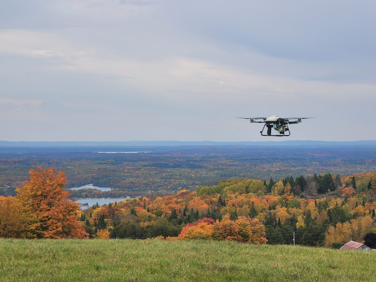
Gathering geoscientific data for mining and energy industries through ground-level surveys can be time-consuming, costly and physically dangerous. Drones can replace traditional surveying methods, reducing labour and equipment costs and completing surveys more quickly, but they have their own limitations.
To improve the versatility and quality of typical remote-system surveying data, Toronto Metropolitan University (TMU) engineering alumni Robel Efrem (mechanical) and Alexandre Coutu (electrical) teamed up with Sajad Saeedi from TMU’s Department of Mechanical and Industrial Engineering. In partnership with the alumni’s company, Rosor Corp., they develop near-surface, remotely piloted aircraft systems that support multi-datatype output surveying, such as geophysical and topographic, in a single pass.

These long-range survey drones will improve geophysical data collection using custom-designed sensor suites, improved low-altitude accuracy, longer stamina and untethered, long-range communication systems. Enhanced geophysical survey data can provide mining investors greater insights into national and global mining resources, help solve demand shortages through mineral discoveries, and support environmental monitoring and developing technologies like electric vehicles.
Funding for this project by Mitacs. To learn more about how Mitacs supports groundbreaking research and innovation, visit the Mitacs website.

